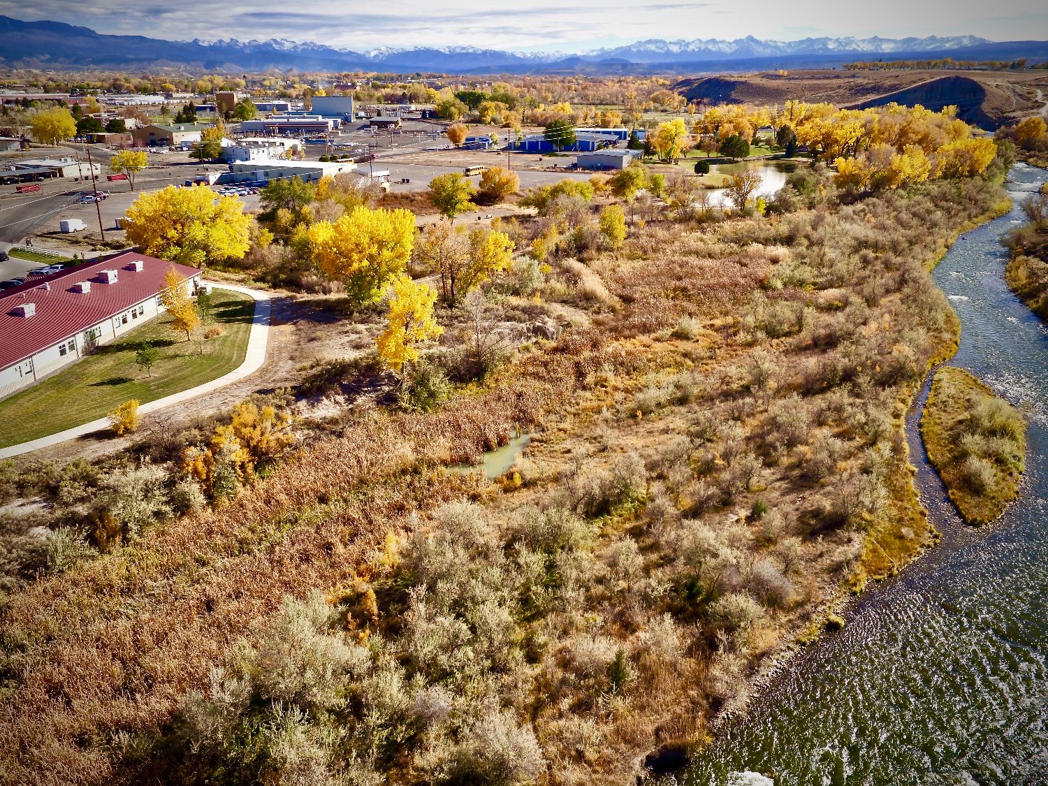
Sam Green, a junior at Peak Academy has won the 2018 ArcGIS Online Mapping Contest for US high school students for Colorado. Sam’s entry titled “Riparian Restoration Management Plan” was submitted to the State Leadership Team for judging. The five best submissions are recognized by the State and the best of those five moves on to compete in the National Competition. Sam’s work was chosen to represent Colorado versus twenty seven other States.
Check out Sam's ArcGIS Story Map
For Sam to successfully complete this STEM/Problem Based Learning initiative special thanks goes out to:
The students at Peak Academy that helped do research and collect data. The staff and administration of Peak Academy. Their help creating the time and resources needed for implementing this STEM/PBL was essential.
The Montrose County School District. Their commitment to STEM and Problem Based Learning Initiatives made all of this possible. Without this directive this would not have happened.
Our Community Partners:
The 3M Corporation – They supplied funding via a 3M EcoGrant
Justin Musser – Montrose County Ecological Services Manager
David Sinton – BLM GIS Specialist
Lisa Goetsch – Montrose County GIS Coordinator
Dr. Phillip Crossley – Western State Colorado University
Dr. Tammy Parece – Colorado Mesa University
Dr. John McGee – Virginia Tech
And everyone else that offered advice and technical expertise on how to not only build the story map but design and implement the management plan.
Check out the Montrose Daily Press article below:
For Sam to successfully complete this STEM/Problem Based Learning initiative special thanks goes out to:
The students at Peak Academy that helped do research and collect data. The staff and administration of Peak Academy. Their help creating the time and resources needed for implementing this STEM/PBL was essential.
The Montrose County School District. Their commitment to STEM and Problem Based Learning Initiatives made all of this possible. Without this directive this would not have happened.
Our Community Partners:
The 3M Corporation – They supplied funding via a 3M EcoGrant
Justin Musser – Montrose County Ecological Services Manager
David Sinton – BLM GIS Specialist
Lisa Goetsch – Montrose County GIS Coordinator
Dr. Phillip Crossley – Western State Colorado University
Dr. Tammy Parece – Colorado Mesa University
Dr. John McGee – Virginia Tech
And everyone else that offered advice and technical expertise on how to not only build the story map but design and implement the management plan.
Check out the Montrose Daily Press article below: